
Squiggles, the Wiggle, and Waves
The bike lanes of San Francisco are cut from the public streets and marked as an articulated urban space. Between moving and parked cars, alongside the similarly vulnerable bodies of urban pedestrians, bicycles press through the city along newly claimed pathways. As seen from above they express a varied urban fabric, following the mashed grids, topographic twists and turns of the hilled city. The paths take shape through contours, their surface dipping, tipping, degrading, and pocked as the land underneath shifts and breathes. Out of necessity, they follow the path of least resistance where waterways once flowed. The presence of bike lanes is an insistence; they demand a negotiated public space.
“Continual and effervescent sites of political and material negotiations, the bike lanes proffer interstitial awareness, as the meeting points of various moving vehicles, rolling parts and bodies navigate from point A to varied point X. ”
Continual and effervescent sites of political and material negotiations, the bike lanes offer interstitial awareness, as the meeting points of various moving vehicles, rolling parts, and bodies navigate from point A to varied point X. The result is a bobbing and weaving that necessitates clearly defined paths for the safety of all of the bodies in motion, whether in car, on bike, or on foot. The clear delineations of properly and thoroughly marked bike lanes signals an acknowledgement of biking as a legitimate form of urban transportation. Defined laws to both protect and persecute the two-wheeled traveler—the act of putting into law and “ticketing” violations—marks the cyclist’s entrance as a protected and articulated presence in the movements of an urban setting.
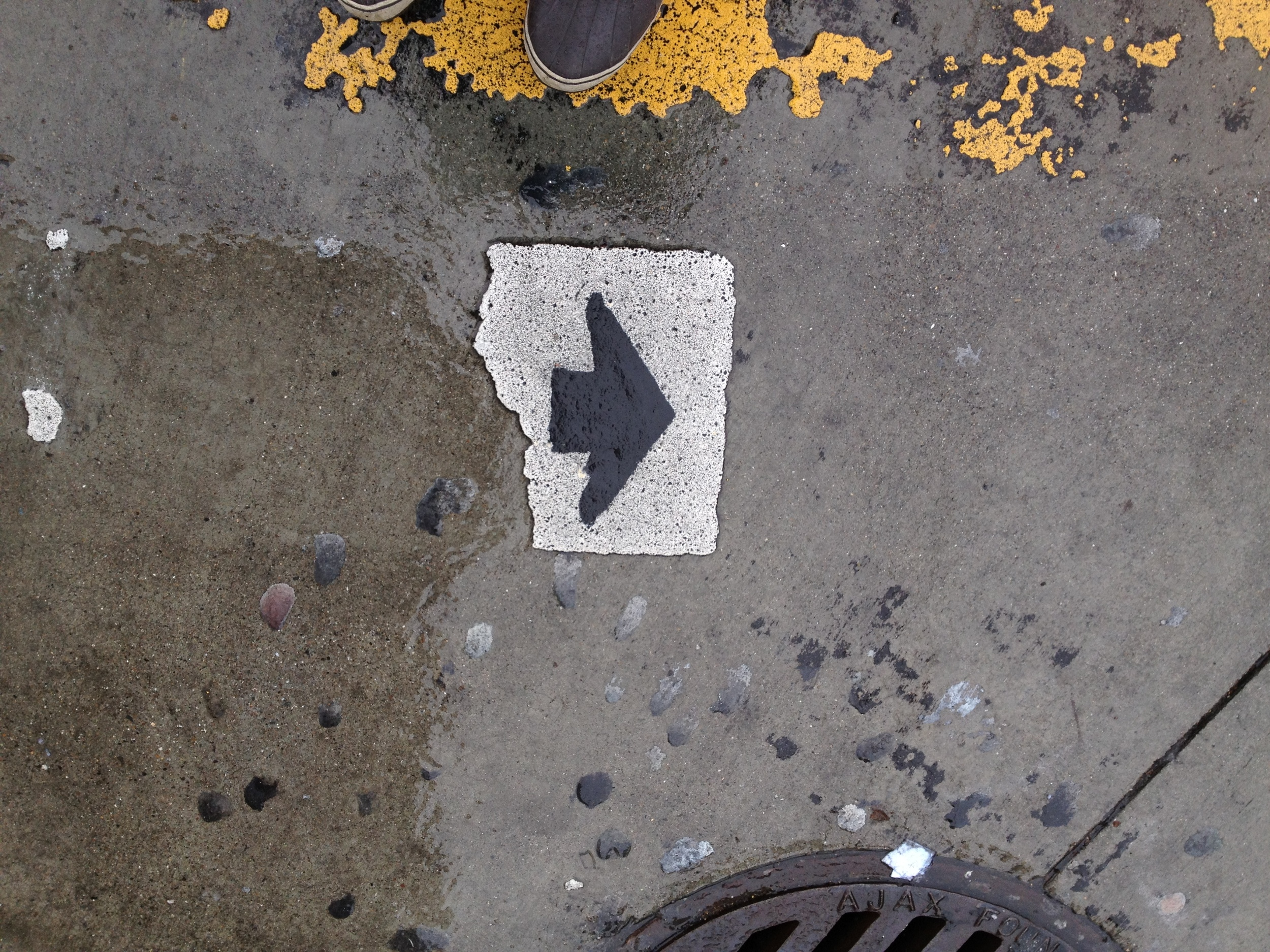
Some lanes are marked by stenciled bicycles splayed on the concrete along rows of parked vehicles, like breadcrumbs leading the cyclist through the traffic-calmed and less vertical routes of the city streets. Barely noticed by thundering cars, the stenciled bikes both indicate and quietly echo the cyclists’ presence.
Reemerging from the historical course of Sans Souci creek, a stenciled bike path affectionately and officially called “the wiggle” comes to form. The wiggle wiggles its way from Market Street to the panhandle of Golden Gate Park through slow and low elevation side streets, making for a safe and pleasant two-wheeled stroll along a historically rich artery, connecting bicyclists across major commercial hubs of the city. Other paths are marked by a single, bright white line that glides six feet wide and alongside rows of parked cars. This wide, white line signals the bicycle boulevards. The boulevards present a greater materiality and visual presence for all bodies articulating the communal streetscape.
The San Francisco Bicycle Coalition (SFBC) has been instrumental in inserting bikes into the urban space. Founded in 1971, then re-founded (reawakened) in 1990, the SFBC is a member-driven bicycle advocacy group that works alongside government and community agencies in the effort to “promote the bicycle for everyday transportation.”[1] The coalition engages the cycling community to take up and demand the materiality of presence and politics through several initiatives with the city government and law enforcement.
The coalition, in its early days, was behind car-free Sundays in Golden Gate Park and bike access to the Golden Gate Bridge. Establishing the wiggle, post-re-founding, served as a coalescing point for the coalition to wiggle its way into the city’s politics. More recent successful initiatives resulted in the adoption of the San Francisco Bicycle Plan by the San Francisco Municipal Transportation Authority (SFMTA) in 2005. This plan, with 60 improvement projects, has the straightforward goal of making San Francisco an easy and safe place for bikes.
The Bicycle Plan clearly demonstrates the presence of the cyclist in the San Francisco cityscape by increasing the miles of bike paths, clearly marking lanes with experimental and bold colors, developing more bike parking, and by delineating policies and actions for education, law-enforcement, access and transit. The interconnected squiggles of paths and streets that prioritize bikes as the preferred mode of travel—called the Bike Network—lie at the heart of the plan.
One of the SFBC’s initiatives, Connecting the City, addresses the Bike Network more directly. This initiative strives to make San Francisco “a city that is easy to shop, live, work and play in while also preserving our unique neighborhoods and commercial districts.”[2] That shopping—an entrenched, capitalistic method of community engagement—is consistently communicated as a key component of the initiative speaks to the politics that the SFBC utilized in making Connecting the City possible.
“The bike paths of San Francisco are born from the wheeled people, sanctioned and adopted into policy and protection by a forward-thinking city government. ”
Looping consumerism with cycling enticed the city’s business districts to back the coalition’s aspirations. The Connecting website claims that bikes, as slower moving vehicles, are more apt to stop and shop than a car quickly passing through. A primary example of this connection at work is the Valencia street corridor, which stands as one of the most satisfying and safest bike routes through the city. In 1998, the SFBC lobbied to get the SFMTA to consider a trial “road diet” for Valencia Street. A road diet consists of taking out lanes of traffic (in this case two of the four), and adding a centralized left-turn lane along with two bike lanes.
The trial was a success, despite initial hesitation from the SFMTA and business owners, and became an example of how carving a safe, civic space for cyclists can strengthen a community. The trial and its subsequent adoption helped to propel the Valencia Street corridor into a bustling, bike and pedestrian friendly commercial district that stands as a major cultural hub of the city.
The city’s establishment of the “green wave” zone along a major portion of the corridor provided the generous bike lanes a greater place of importance and further increased the corridor’s allure. The green wave is a concept lifted from Copenhagen, one of the most bike-friendly and -forward thinking cities in the world. Traffic lights are timed in the green wave zone to 13mph, providing a safer, slower pace for bicycles and pedestrians to move through.
This slower pace further pleased the commercial interests of Valencia Street, as it had a direct and positive impact on the district’s reemergence by providing a calmer atmosphere for consuming pleasure.
The bike paths of San Francisco are born from the wheeled people, sanctioned and adopted into policy and protection by a forward-thinking city government. They are evidence of the complex negotiations between bodies, both political and physical, on a civic scale. They follow the texture and contours of the cityscape and simultaneously provide hope for a municipal government that can realize the radical dreams of a materially active, present, and engaged citizenry.
[1] SFBC’s mission statement, www.sfbike.org.
[2] www.connectingthecity.org.